New Jersey State Official Executive Laminated Wall Map - 48x84 (Swiftmaps.com)
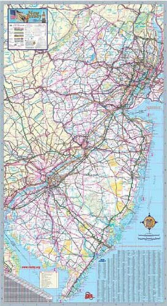
Part of the Swiftmaps.com Executive and Commercial State Wall Map series, this updated New Jersey wall map was produced by our in-house mapping team using official geographic data from the State Department of Transportation. It delivers a comprehensive statewide reference ideal for routing, planning, and general use by businesses, sales teams, urban developers, social outreach programs, educators, and marketing professionals. The map displays state highways, federal highways, county highways, county boundaries, cities and towns, major waterways, state/national parks, campsites, rest areas, military installations, airports, golf courses, universities, and much more. A city/county index is provided, and inset maps give greater detail for all major cities where applicable. Printed with UV-resistant ink to help prevent fading, the map is laminated on both sides with a durable 3mil lamination that allows dry-erase marker use. Ships rolled inside a sturdy shipping tube.
Shipping & Returns
Shipping & Returns